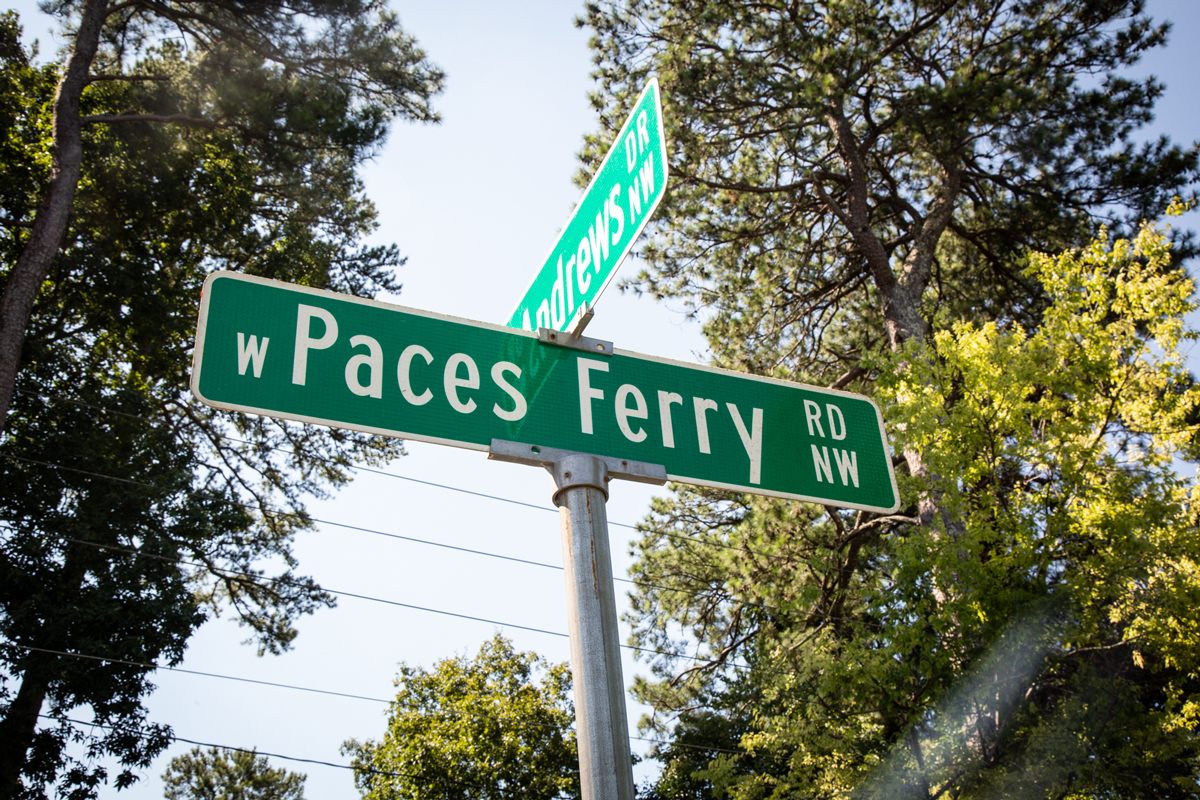
Photograph by Martha Williams
This story is part of Atlanta magazine’s Streets Issue—a block-by-block exploration of our city and the stories it tells. Find the entire package here.
Crossing the Chattahoochee above its confluence with Peachtree Creek, Paces Ferry Road today is home to 100-acre European estates, the governor’s mansion, and Arthur Blank—but its name bears the memory of another path Atlanta might’ve taken. “‘West Paces Ferry’ is a status symbol now, but it is a reminder of rural Georgia,” says the Georgia Historical Society’s Stan Deaton. “It’s a reminder of how important water was in the 18th and 19th centuries.”
In the early 1800s, “Paces Ferry” was just that—a flat-boat ferry service named after its owner and operator, Hardy Pace. Until the 1820s, Georgians depended on waterways, especially for long-distance travel; 20 roads in what is now Fulton County are named for ferries and bridges, and most major cities in the state sprung up on the water—Savannah, Rome, Columbus, Augusta.
Around the same time, canal mania was sweeping the country: “Everybody heard about the Erie Canal and how successful it was,” says Mike Riley, president of the American Canal Society. “Pennsylvania, all of a sudden, had to have a canal. New Jersey had to have canals. Every state had to have a canal.” Georgia set about surveying for its own system, and the Board of Public Works urged the state to improve its waterways, which it described as “the great highways of transportation” and, according to a 1938 article in the Georgia Historical Quarterly, “the foundation upon which a system of transportation might be built.” The Assembly instructed the board to investigate the possibility of a canal connecting the Atlantic Ocean with the Tennessee and Mississippi rivers, via the Savannah and the Chattahoochee. After a year of strife (illness, errors, hostility from the indigenous people on whose land it was trespassing), the board made its first and only report in late 1826: Surveys were unsatisfactory. It asked for more time and recommended experimenting with a new method of transportation then gaining steam: rail.
Still, canal boosters held out hope, even into the 20th century. In 1914, Hearst’s Sunday American interviewed a lawyer named Telamon Cuyler about his foolproof plan to make Atlanta a seaport via a series of “short canals, easily dug,” connecting the city to the Atlantic and the Gulf of Mexico. Cuyler also claimed, dubiously, that it was his grandfather who was the first to give Atlanta its original name, Terminus—an appellation the city received, whoever actually bestowed it, due to its location at the end of the Western and Atlantic Railroads. It was rails, not water, that revolutionized Georgia, helping it evolve from a “rural, backward frontier state”—according to the Quarterly—to the “Massachusetts of the South” (a compliment). Atlanta became a rail town, then a car town—and Paces Ferry became just a street name. What if Georgia had chosen an elaborate canal system instead? “I’ve never thought about what would have happened if Atlanta had been more water than rail,” Deaton said. “Atlanta would have never become Atlanta.”
This article appears in our August 2022 issue.


